

")
")
")
")


Wilayat Saham

Bordered to the north by Suhar, to the south by Al-Khaboura, to the east by the Gulf of Oman, and to the west by Ibri.

Saham includes 139 villages and its population is 152 thousand, according to the statistics conducted in 2019.
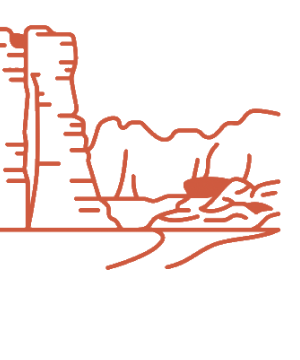
Saham contains a number of valleys such as: Wadi Bani Omar, Wadi Al-Mahmoud, Wadi Umm Khalifa and Wadi Umah, as well as Khor Al Hamam, Khor Hefit, and Khor Al Milh.
Saham includes historical sites, such as: Al-Fulaij Castle, Al Rawashid Castle, Al Hulis Castle, Al Reddah Castle, Saham Fort, Al Shiekh Fort, Daqal Castle and AL Ghayz Castle.

Residents of Saham engage in economic activities such as agriculture, trading, fishing, livestock, manufacturing of agricultural tools, Omani dagger, swords, palmettes, and shipbuilding.

The Wilayat is famous for various arts, such as: Al-Azi, Al-Tarek and Al- Wana, among others.